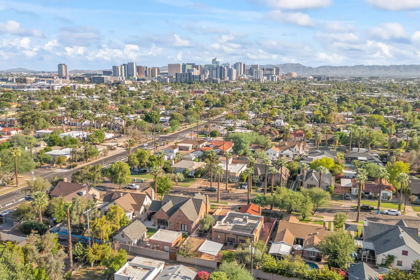
Real Estate Drone Photography in Phoenix
Aerial listing photos and video for real estate agents in Phoenix.
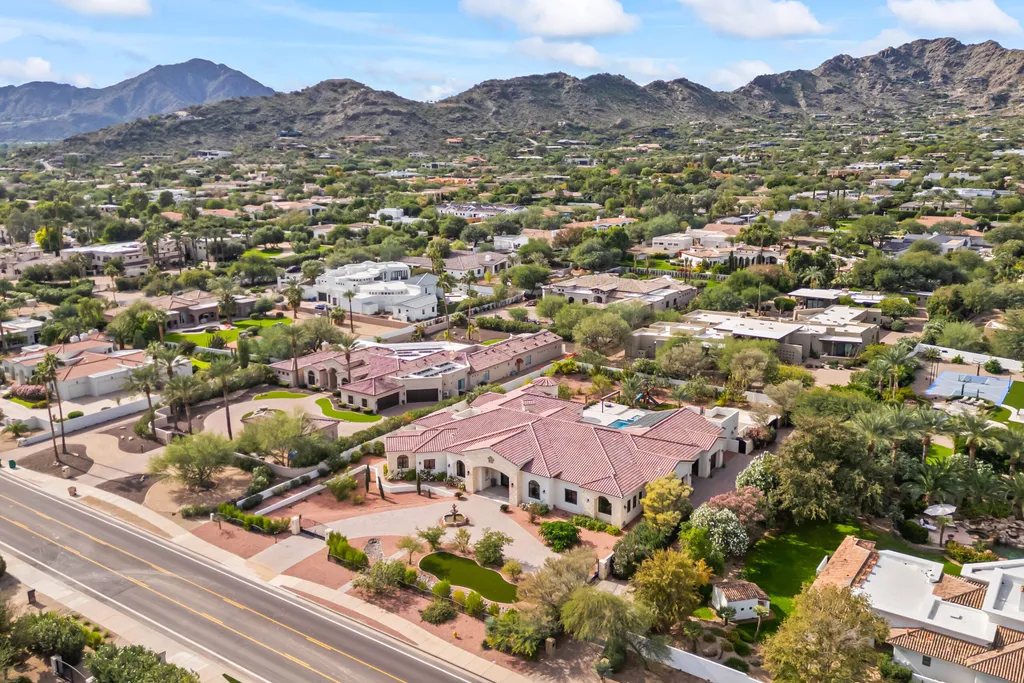
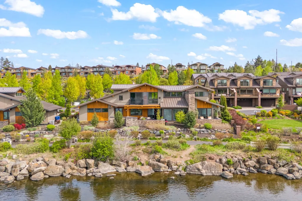
Salt Media flies drones for listing photos and video across the Phoenix area. Aerial shots show things ground photos can’t: the shape of the lot, the pool and yard from above, the mountains behind the house and how close the home is to parks, schools and main roads.
What drone coverage includes
- A top-down view of the lot and roof
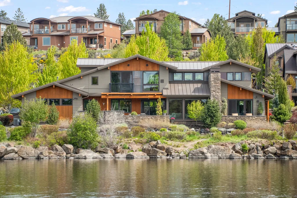
- The front and back of the home from above the roofline
- The pool, yard and outdoor living areas
- Nearby parks, golf courses, trails and community amenities
- Mountain and desert views in the background
- Short aerial clips for the listing video and social reels
Why aerial shots help Phoenix listings
Buyers scroll fast, and most listings in a Phoenix search use the same ground-level angles. An aerial photo of a corner lot with a pool and a view of the Superstition Mountains stands out in that feed. It also answers questions buyers would otherwise drive over to check: how big the yard is, what backs onto the property and how busy the street is. Buyers who already know those answers book showings because they are interested, not to rule a home out.
There is more on this in how drone photography reduces days on market in Phoenix.
Airspace near Phoenix airports
Some Phoenix neighborhoods sit inside controlled airspace around Sky Harbor, Luke Air Force Base and smaller airports, and drone flights there need FAA authorization first. Include the address when you book so the flight can be cleared before the shoot day.
Pricing
Drone photos are $199 on their own, or $99 when added to a photo shoot. Drone photos and video are included in the Best Value Package ($599), the Max Bundle ($999) and both listing programs. See the products page for everything in each package.
FAA-certified pilot
Jacob is an FAA Part 107 certified remote pilot. Part 107 is the FAA certificate required for any drone flight done for business, including listing photos. It covers airspace, weather and flight safety rules. Before you hire anyone to fly a listing, ask whether they hold one.
Most controlled airspace near Phoenix can be cleared through the FAA’s LAANC system, often within minutes. A few locations need a longer manual approval, which is why the address matters when you book.
How a drone shoot works
Call or text Jacob with the address and a time. Before shoot day he checks the airspace and gets authorization if the home needs it. On site, he flies the lot, the front and back of the home and anything nearby worth showing, then shoots the ground-level photos if you booked them. Edited aerial photos and video are delivered the next day.
High wind and monsoon storms can ground a drone. If the weather makes flying unsafe, the aerial part of the shoot moves to the next calm day.
Questions agents ask
When will I get the aerial photos?
The next day, with the rest of the listing media.
Do you need permission to fly near Sky Harbor?
Yes. Much of central Phoenix sits under Sky Harbor’s controlled airspace. Jacob requests FAA authorization before the shoot, so send the address when you book.
Is drone worth it on a small lot?
Often, yes. Even on a small lot, an aerial shot shows what backs onto the yard, how far the home is from the park or school and whether there is a view. Buyers want those answers before they book a showing.
Book a drone shoot
Call or text Jacob at 480-525-7119 or email jacob@saltmediausa.com. Drone coverage pairs well with a 3D home tour and listing video.